Where Technology Meets the Timber
Founded by Dennis Wigmore out of Whitney, Ontario — Whitetail Wise brings a data-driven, land-first approach to whitetail habitat consulting for Canadian hunters and landowners coast to coast.
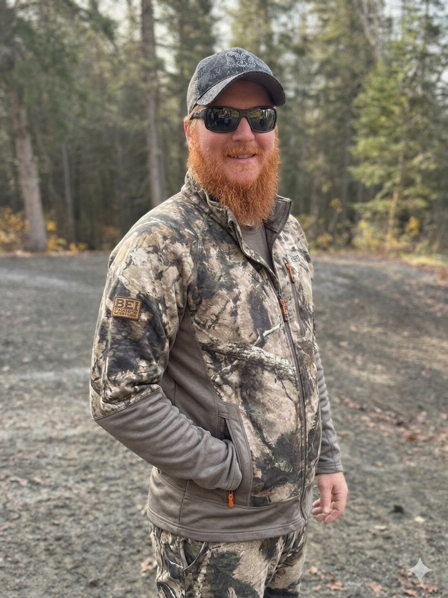
Dennis Wigmore
Dennis didn't come to whitetail consulting through a traditional path. With a career background in technology — spanning network infrastructure, managed IT services, and systems consulting — he spent years solving complex technical problems before turning that same analytical mindset toward the land he'd been hunting for decades.
Based out of Whitney, Ontario, on 135 acres backed by over 2,000 acres of dense, landlocked woodland, Dennis built Whitetail Wise from the ground up — driven by one simple frustration: too many hunters were spending too many hours in the wrong stands, on the wrong wind, at the wrong time.
The same discipline that builds reliable networks — systematic coverage, eliminating single points of failure, making decisions from data instead of assumptions — turns out to be exactly what builds a reliable hunting strategy.
What started as a personal obsession with patterning deer on his own property evolved into the Battleship Grid framework, a structured system for breaking a property into manageable cells, deploying cameras with zero redundancy, and building seasonal hunt strategies from real movement data — not guesswork.
Today, Whitetail Wise serves landowners and hunters across every province, delivering fully remote consulting that's as detailed and actionable as any boots-on-the-ground visit. Because when you combine professional satellite mapping, our own engineered analysis software, trail camera analytics, and decades of hunting experience, you don't need to be on-site to read the land — you need to read the data.
The Principles Behind Every Plan
Technology Meets Tradition
A background in IT and a lifelong passion for whitetail hunting converge in a data-driven approach that doesn't lose sight of what matters: boots-on-the-ground instinct.
Land First, Always
Healthy habitat produces healthy deer. Every recommendation starts with what's best for the ecosystem — the soil, the timber, the water, the browse — because a thriving landscape is the foundation of every successful hunt.
Data Over Guesswork
Trail camera analytics, EXIF metadata extraction, wind-indexed movement models, and satellite mapping replace gut feelings with actionable intelligence. Every stand placement is earned through evidence.
100% Remote, 100% Thorough
Using professional-grade satellite mapping vendors paired with our own engineered analysis software, alongside your trail camera data and property intel, we deliver consultation as detailed as any in-person walkthrough — to any property in Canada.
Precision, Not Pressure
Our Battleship Grid framework eliminates wasted acreage and focuses your time, cameras, and stand setups on the cells where deer movement actually exists. Know where not to hunt — it's half the battle.
Built for Canadian Hunters
Province-specific food plot plans, latitude-calibrated rut timing, Canadian growing zones, and an understanding of Crown land dynamics — this isn't a U.S. playbook repackaged. It's built for here.
Not a Cookie-Cutter Playbook
Most habitat consultants hand you a generic report and wish you luck. We build a living system — one that evolves with your trail camera data, adapts to seasonal shifts, and gets sharper every year you work with us.
Our approach was designed from the start for remote delivery. We don't rely on a single site visit to make our assessment. Instead, we combine professional-grade satellite imagery, your on-the-ground intel, trail camera analytics, and our own engineered analysis software to build a picture of your property that's continuously updated and refined.
And because we work exclusively with Canadian properties, every recommendation — from food plot seed selection to rut-phase timing — is calibrated to your province, your latitude, and your growing zone. Not imported from a U.S. playbook and relabelled.
The Battleship Grid
Your property divided into a precision grid. Every cell evaluated, classified, and either activated for management or eliminated. No wasted effort, no wasted boot prints.
Trail Camera Analytics
EXIF extraction, individual deer recognition, wind-indexed movement modelling, and seasonal behaviour classification — all synthesized into a unified probability model.
Seasonal Hunt Blueprints
Early season food plots. Pre-rut scrape intercepts. Peak rut doe-bedding funnels. Post-rut cold-weather feeding patterns. Every phase has a strategy backed by your data.
Year-Round Partnership
This isn't a one-time report. Full Partnership clients get quarterly strategy calls, camera data reviews, pre-rut tactical plans, and post-season debriefs — all season, every season.
Your Land Has a Story.
Let's Read It Together.
Whether you're managing 50 acres or 5,000 — in Ontario, British Columbia, Saskatchewan, or the Maritimes — we'll build a strategy as unique as your property.
Schedule a Consultation